 English (United Kingdom)
  Español (España)


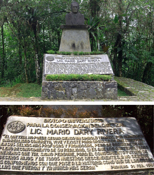
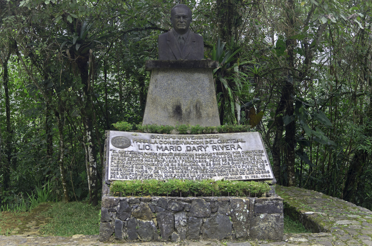
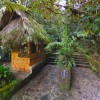
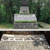
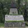
Biotopo Universitario para la Conservación del Quetzal Mario Dary Rivera
-
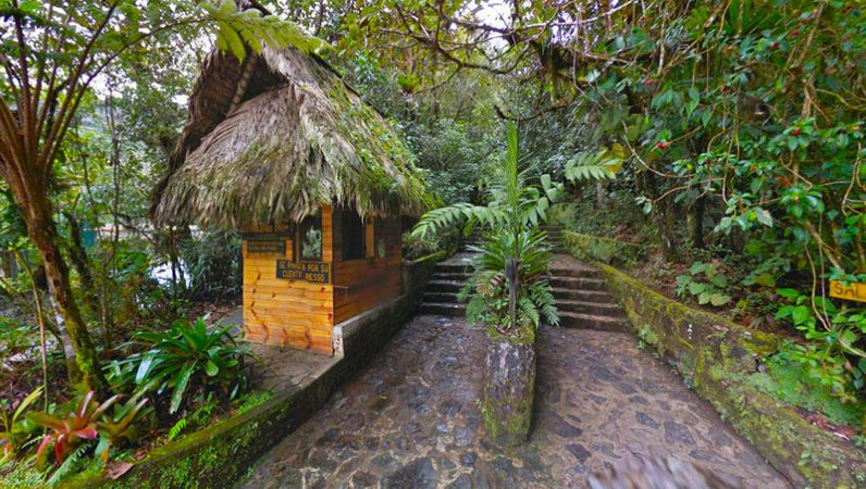
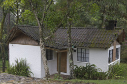
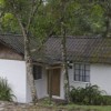
The University Biotope for the Conservation of the Quetzal “Mario Dary
Rivera” (BUCQ) was created in 1976 through a donation of land that
the municipality of Salamá made to the University Of San Carlos Of
Guatemala. At the beginning, the space had an area of 765 hectares,
which were subsequently extended to 1,017 hectares, by acquisition of
the University.
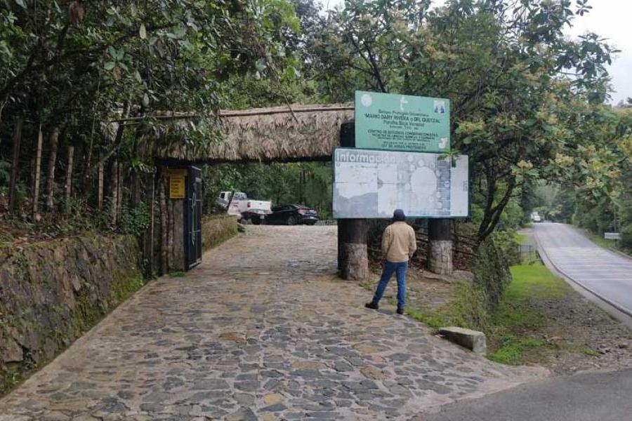
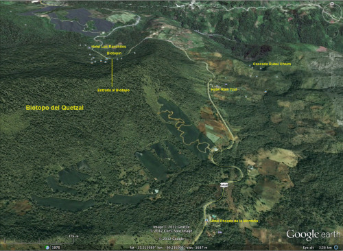
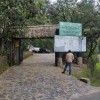
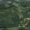
The Cloud Forest Corridor where the Biotope is located is moderately
fresh, very humid, subtropical type, with an average temperature of
18.1° C, relative humidity of 93.9% and an average annual rainfall of
2,092 mm. It is located within the Sierra de las Minas, department of
Baja Verapaz, 2 kilometers south and 2.5 kilometers east of Purulhá. It
covers the forest area bounded to the north by the Purulhá-Tactic hills;
to the east by the 1,500 meters coast approximately and to the west by
the mountains of the Pine. Access is via the CA-9 road to Atlantic until
kilometer 85 (El Rancho), then it connects to the CA-14 route until
kilometer 160.5.
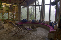
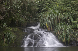
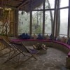
There are two interpretative trails, one of 2 kilometers called “Los
Helechos” with an approximate distance of 1,800 meters and another
of 4 kilometers called “Los Mosgos”, with a distance of 3,600 meters.
These are great for walks; they are not steep roads, apt for children
and young people, although it rises a lot in height. They have very
good maintenance and provide a beautiful view of the mountains and
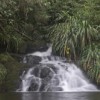
valleys around the biotope. In the trails are waterfalls with clear waters.
You walk under trees covered with orchids, bromeliads, lichens,
mosses, and epiphytes, surrounded by many ferns arboreal. The area
is unlike any other habitat, made up of great biodiversity. It offers the
opportunity to know and learn about the forest and its inhabitants; it is
a unique and interesting experience for researchers, students,
domestic and foreign tourists
Mapa Ubicación